
Entry 07Second watch · On the Water4 min
The New River is the heart of boating in downtown Fort Lauderdale, with the city’s docks along the Riverwalk and boatyards farther up. It is also a river of bridges. NOAA’s Coast Pilot lists the crossings above the junction with the Intracoastal Waterway, and the Coast Guard’s drawbridge rules in 33 CFR 117.313 say when several of them open. If your boat cannot pass under a closed span, those two documents decide when you can get home.
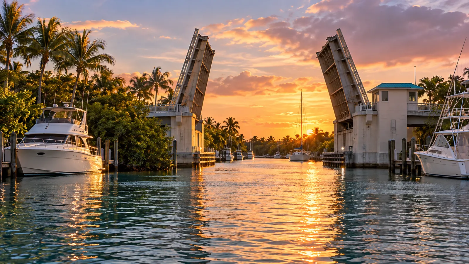
The crossings, in order going upriver
Closed vertical clearances below come from the Coast Pilot. Clearances are measured at the center of a bascule span where noted; check your chart and the clearance boards, because water levels change with the tide.
| Crossing | Type | Closed clearance |
|---|---|---|
| U.S. Route 1 at SE Sixth Avenue | Tunnel under the river | No bridge to clear |
| SE Third Avenue bridge | Bascule | 16 feet |
| South Andrews Avenue bridge | Bascule | 21 feet |
| Florida East Coast Railway bridge | Railroad bascule | 4 feet |
| William H. Marshall Memorial Bridge | Bascule | 20 feet at center |
| SW 12th Street bridge (South Fork) | Bascule | 21 feet |
| State Highway 84 bridge (South Fork) | Bascule | 21 feet |
Overhead power cables cross above several of these bridges. The Coast Pilot gives 80 feet just above the railroad bridge and above the Marshall bridge, and a least clearance of 50 feet for the cables near the State Highway 84 bridge. Farther up the South Fork, two parallel fixed highway bridges have 55 feet of clearance and a railroad bascule bridge has 6 feet.
When the draws open
SE Third Avenue and Andrews Avenue
Under 33 CFR 117.313, both bridges open on signal, except that from 7:30 a.m. to 9 a.m. and from 4:30 p.m. to 6 p.m., Monday through Friday except federal holidays, the draws need not open. Public vessels of the United States, tugs with tows and vessels in distress are passed at any time. The Andrews Avenue draw also need not open for inbound vessels while the railroad bridge just upstream is down for a train.
The Florida East Coast Railway bridge
The railroad bridge works differently. The rule says it stays fully open to navigation except when closed for trains, inspections or authorized maintenance, and may not be closed for more than 60 consecutive minutes. From 5 a.m. to 11:59 p.m. it must open for a fixed 10-minute period each hour, with set times in the busiest hours: 7:00 to 7:10 a.m., 9:00 to 9:10 a.m., 4:00 to 4:10 p.m., 6:00 to 6:10 p.m. and 10:00 to 10:10 p.m. Between noon and 2:59 p.m. it adds a second 10-minute opening each hour. The bridge owner publishes the opening periods quarterly on its website and app.
- A bridge tender is on site at all times and gives estimated opening and closing times on request.
- Operational information is available 24 hours a day on VHF-FM channels 9 and 16, or by phone at (305) 889-5572.
- Signs visible from the water show the radio, website, app and phone contacts.
Tip: With a 4-foot closed clearance, almost every boat waits for this bridge. Plan trips upriver around its published openings rather than arriving and hoping.
Radio channels
The Coast Pilot says the tenders of the SE Third Avenue, South Andrews Avenue, William H. Marshall Memorial and Davie Boulevard bridges monitor VHF-FM channel 13. On the Intracoastal nearby, the Las Olas Boulevard bascule bridge has a reported clearance of 24 feet at the center with its tender on channel 13, and the SE 17th Street bridge has an authorized clearance of 55 feet at the center with its tender on channels 9 and 13.
Currents and traffic
The river is entered from the Intracoastal through two connecting channels. At Tarpon Bend, 0.6 mile above the mouth, the Coast Pilot says the channel is narrow, the currents are strong and heavy traffic can be expected. It also warns of strong currents above the SE Sixth Avenue tunnel and advises strangers going upriver to get information from the city dockmaster first. Speed on the New River is limited to no wake, and much of the river is also a year-round slow-speed manatee zone; see No-Wake and Manatee Zones in Broward County: Idle Speed, Slow Speed and the 25 MPH Rule.
Planning a trip up the river
- Know your air draft, including antennas, T-tops and outriggers, before you leave the dock.
- Avoid weekday rush hours at Third Avenue and Andrews Avenue unless you fit under them closed.
- Time your arrival at the railroad bridge to a published opening.
- Hold well back from a closed span; the Coast Pilot warns of strong currents on the river.
- Call the city dockmaster on VHF 9 if you are heading for the downtown docks; see Fort Lauderdale’s City Marinas: Cooley’s Landing and the New River Downtown Docks.
Out at the ocean end of the trip, the Port Everglades inlet has its own currents and traffic, covered in Boating Through the Port Everglades Inlet: Currents, Big Ships and Rules for Small Craft.