
Entry 05Second watch · On the Water4 min
Key takeaways
- The entrance is narrow, shared with cruise ships and tankers, and busy with small boats on weekends.
- Submerged breakwaters on both sides of the entrance are unmarked; stay in the channel.
- Cross currents in the entrance can be strong and unpredictable; plan around wind and tide.
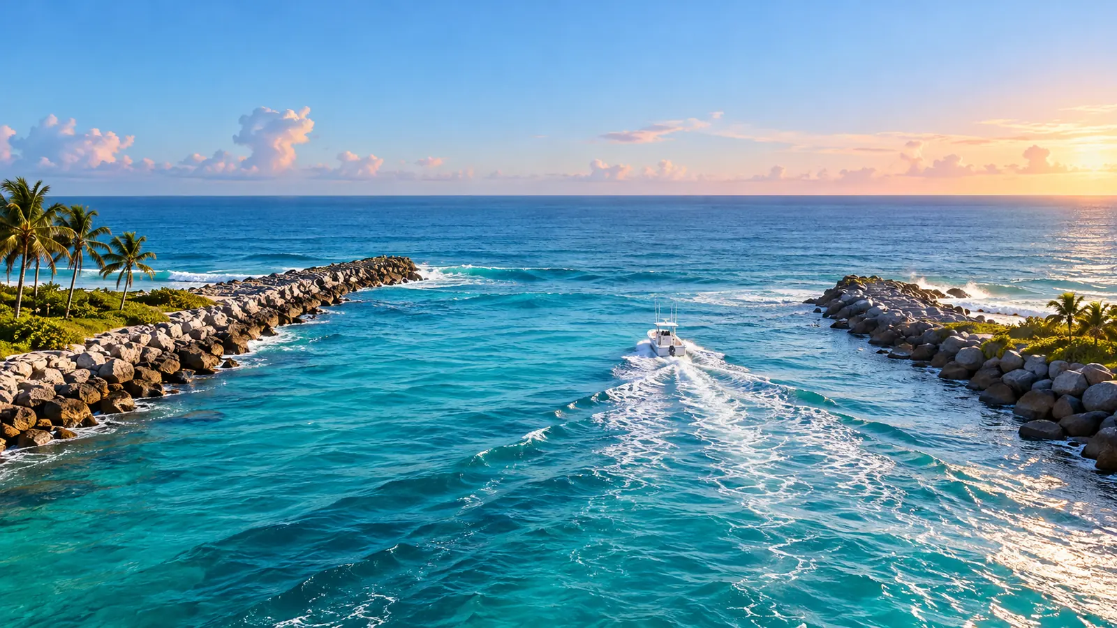
For most Fort Lauderdale boaters, the ocean starts at Port Everglades. The inlet between the two jetties at the south end of the city is the main way out to the reefs and the Gulf Stream, and it is also a deepwater port. NOAA’s Coast Pilot 4, the official sailing directions for this coast, describes it as a major cruise port that also handles petroleum products, automobiles, cement, steel, lumber and container cargo. Sharing that entrance with a small boat takes some planning.
The layout
Two jetties protect the harbor entrance, which the Coast Pilot calls virtually landlocked. A federal channel leads from the Atlantic between the jetties to a main turning basin, with turning basins north and south of it. A lighted buoy marks the entrance, and the channel is marked by lighted buoys, lights and a lighted entrance range. Port Everglades sits at Mile 1066.3 of the Intracoastal Waterway, just south of the Fort Lauderdale marinas and the 17th Street bridge.
Hazards you cannot see
- Two submerged breakwaters, extending almost 0.7 mile offshore on either side of the entrance, are unmarked.
- A large abandoned spoil area north of the entrance channel has very little water over it and at times shows above the surface like an island.
- The ruins of a former jetty, covered by about 3 feet of water, extend south from the inner end of the north jetty.
- Fish havens lie north of the entrance channel, the larger one between 1.5 and 5.7 miles north and 1 to 2.2 miles offshore.
The practical rule is simple: stay in the marked channel through the entrance, and do not cut corners over the breakwaters to save a few minutes.
Currents
The Coast Pilot gives the average tidal current in the entrance as about 0.7 knot, but notes reports of flood currents of 3 knots and ebb currents of 4 knots. More important for small boats, it warns that the entrance channel has dangerously strong cross currents that vary in strength and are unpredictable in direction, running roughly at right angles to the channel, and that they have been reported as strong as 5 knots. Prevailing winds from the southeast and east combined with a rising tide are described as the most hazardous conditions inside the port.
The tide itself is modest. NOAA’s Port Everglades gauge shows a mean range of about 2.5 feet between mean high and mean low water. After heavy rain, the Coast Pilot notes, flood-control gates inland can be opened, producing strong ebb currents in places such as the Dania Cut-off Canal.
Big ships have the channel
Large commercial vessels approach and enter within the areas east of Lighted Buoys 2 and 3. The Coast Pilot advises small craft near the approach to be underway and ready to get out of the way of large commercial traffic at all times, and never to anchor within 0.8 mile of Lighted Buoy PE or anywhere in the entrance channel. It also warns large ships about very heavy small-craft traffic on weekends and holidays, which tells you what the inlet looks like from the bridge of a cruise ship on a Saturday.
Tip: Keep VHF channel 16 on while transiting the inlet, and give ships, tugs and pilot boats plenty of room. A ship in a narrow channel cannot stop or turn quickly.
Areas to keep out of or slow down in
- A naval restricted area extends about 2.5 miles offshore and about 4 miles south of the south edge of the entrance channel; its limits are in 33 CFR 334.580.
- Anchoring south of the entrance channel by vessels with a draft of more than 12 feet is prohibited.
- Manatee protection zones apply in parts of the port and nearby canals, including a no-entry area at the power plant discharge canal; see No-Wake and Manatee Zones in Broward County: Idle Speed, Slow Speed and the 25 MPH Rule.
Weather that makes the inlet rough
The Coast Pilot says thunderstorms occur on 10 to 15 days a month from June through October, and that violent, unpredictable winds of more than 50 knots can come with local thunderstorms. Winds of 17 knots or more are most likely from September through April. When strong onshore winds, cross currents and heavy traffic come together, that is the time to wait. Check the marine forecast before you go and again before you come back in.
Help nearby
The Coast Guard’s Fort Lauderdale station is on the east side of the Intracoastal Waterway at Mile 1066.8, just south of the port; the Coast Pilot lists its phone as 954-927-1611 for local conditions. Before your first run offshore, make sure your boat is registered and you carry the boating safety card if you need one; see Florida Boating Safety Education Card: Who Needs One, How to Get It and the Exemptions. If you are coming from a slip up the New River, read Bridges and Clearances on Fort Lauderdale’s New River: Heights, Rush-Hour Rules and the FEC Railroad Bridge first.